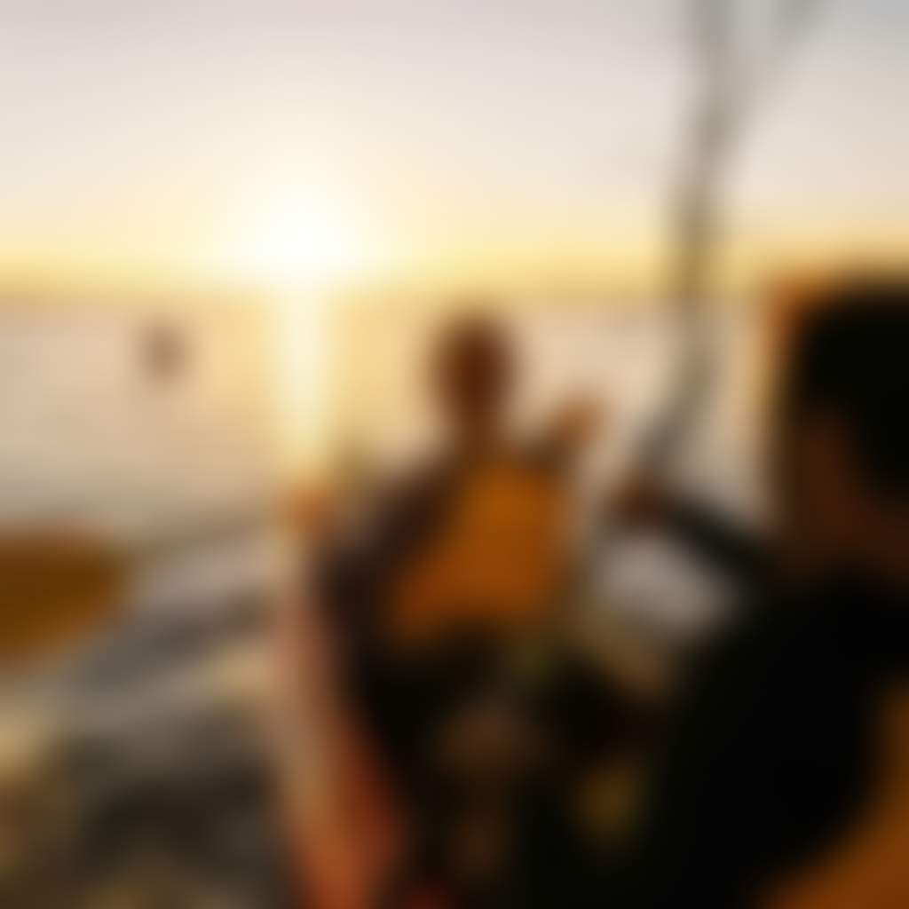
Mulwala History
Lake Mulwala – A Place To Be
In 1842, the Yarrawonga area witnessed the arrival of a remarkable pioneer, Elizabeth Hume. With the help of her brother-in-law, explorer Hamilton Hume, she established the 'Yarrawonga Run', becoming the first European to call northeast Victoria home. Driven by resilience, Elizabeth moved here with her nine children after the tragic death of her husband. Her home, ‘Byramine’, meaning ‘rustic retreat’, offered a new beginning.
A significant transformation occurred in 1939 with the damming of the Murray River at the Yarrawonga Weir, giving rise to Lake Mulwala as part of the vital Murray-Darling Irrigation Scheme. Prior to this, the mighty Murray was a lifeline for paddle steamers, transporting goods like timber, wheat, and wool as far inland as Albury. The railway's arrival in 1886 gradually brought an end to this era of river commerce.
Explore Mulwala History

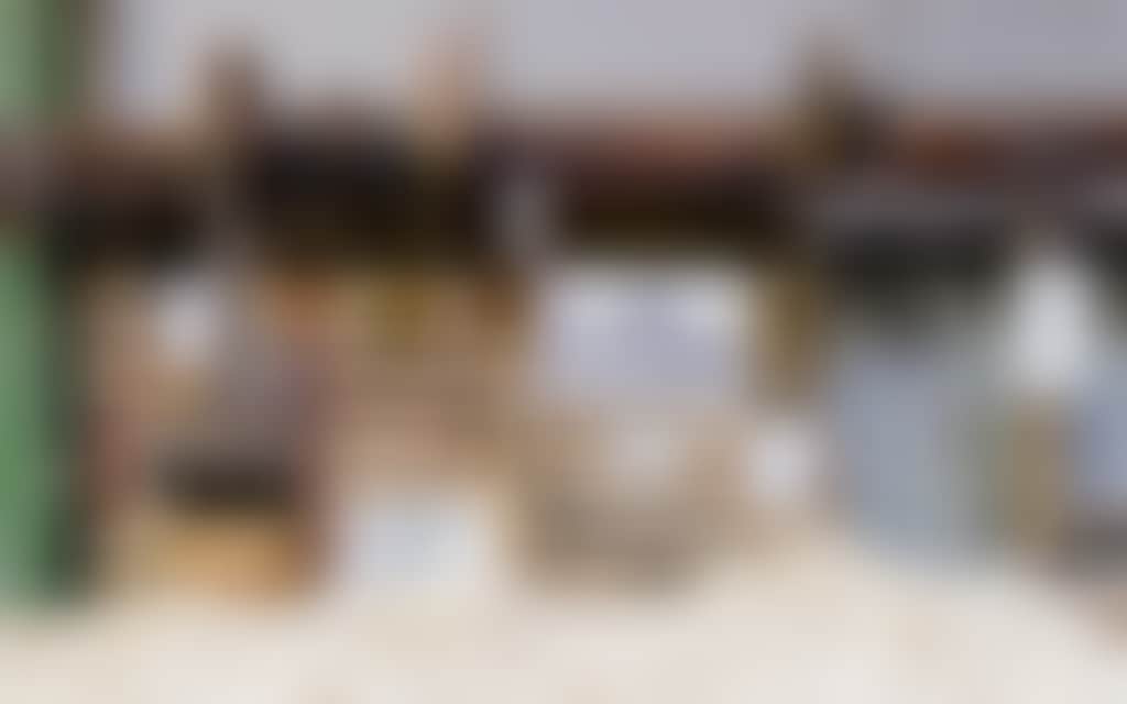
By the Banks Mural
By the Banks by Street Artist Samuel Hall. Covering two sides of the Apex Park public toilet block the mural tells the historic story of the Mulwala area. The Mural design incorporates Mary Jane Rose, Mulwalas Grandmother. Mary was the…
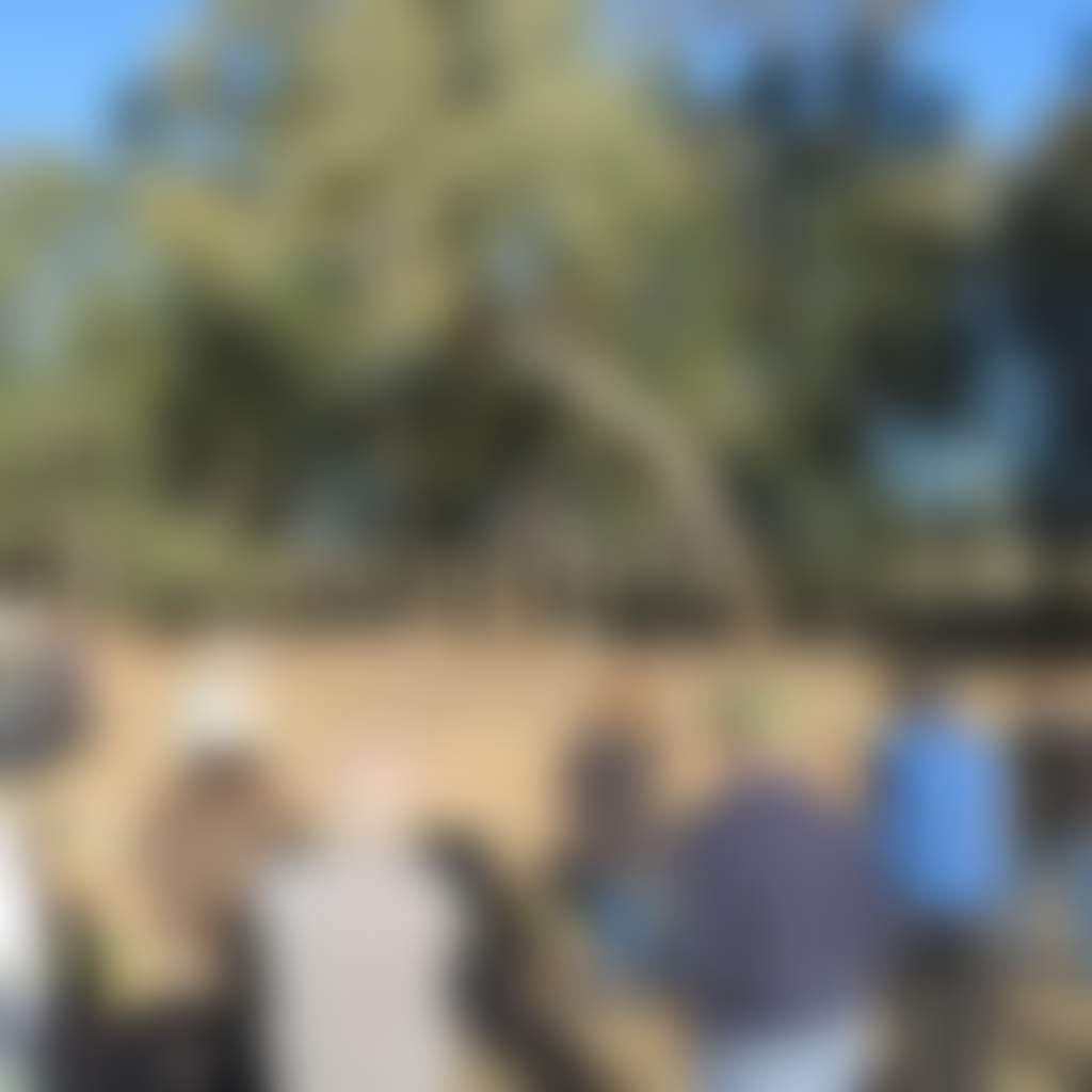
Savernake Station Tour
Alexander and Ann Sloane have drawn upon the extensive archival, natural and historic assets of their family property to offer tours, self-contained accommodation, audio-visual products, and books. Savernake Station is a working historic…
King of the River Sculpture and Bike Rack
Sculpted by local artist Andrew Whitehead of Urana, this piece was the first commissioned by the Federation Council. This interactive artwork doubles as a bicycle rack on the shores of Lake Mulwala, at Digger Loughnan Fishing Jetty.Many of…
Gorman Park
Explore the stunning outdoors North of the Murray. Gorman Park in Mulwala boasts 110 acres of beautiful natural bushland on the banks of the Murray river, New South Wales. A community group named the Grove Trustees, now called Alexandra…
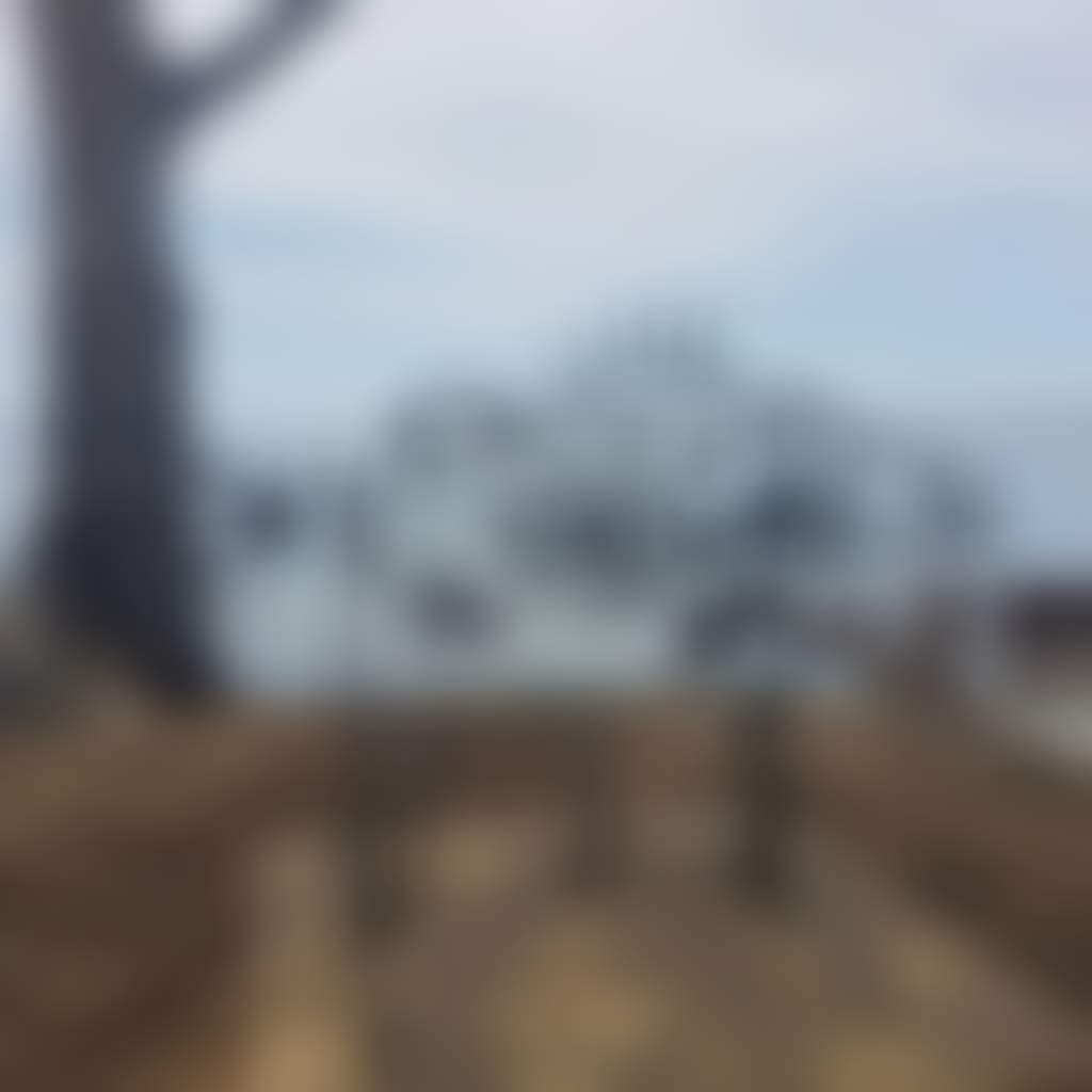
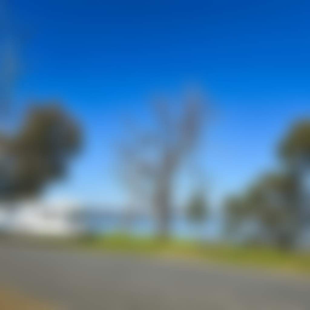
Lake Mulwala
Experience the idyllic waterways North of the Murray. Lake Mulwala is an unforgettable sight with its majestic and ghostly river red gums and offers a range of activities for visitors and locals alike.Water-based activities are a focal…
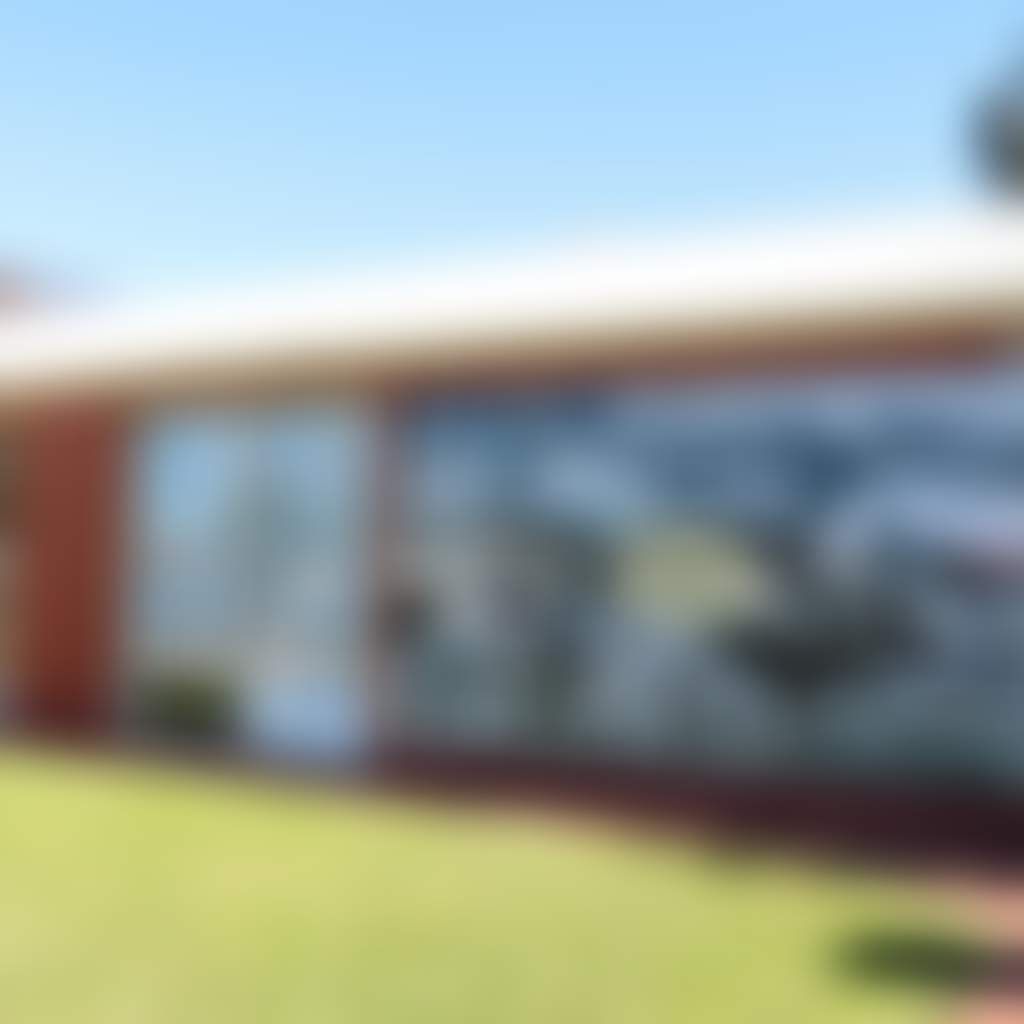
Our Mulwala Wall Art
The Our Mulwala Wall Art is an installation erected on the external wall of the Mulwala Council Office and Library. The 4.3-metre wide x 2.4-metre high piece includes cultural and historical photographs of Mulwala etched into aluminium and…
Kyffins Reserve Mulwala
Kyffins Reserve offers over one kilometre of shoreline and bush camping and walking tracks, on the banks of Lake Mulwala.Located approximately four kilometres east of the Mulwala township, on Lake Mulwala with access via Corowa Road. There…
Creating Lake Mulwala
Lake Mulwala was formed in 1939 when the Murray River was dammed at the Yarrawonga Weir as part of the Murray-Darling Irrigation Scheme. Prior to this, paddle steamers would traverse the Murray as far away as Albury to transport a wide range of merchandise, including timber, wheat and wool. This river traffic slowly petered out with the arrival of the railway in 1886.
Raising the water level at the Yarrawonga Weir allows water to be diverted for irrigation. The Mulwala Canal – at 2,880 kilometres – is the longest irrigation canal in the southern hemisphere, spreading across the southern Riverina plain to Deniliquin and suppling water to 700,000 hectares. The Yarrawonga Main Channel is 957km long and services the Murray Valley irrigation region, from Yarrawonga to Barmah. It supplies water to 128,000 hectares.
You may also like...

Explore more...
Explore more...


- Home
- →
- See & Do
- →
- History & Heritage
- →
- Mulwala History
Sign up for our latest deals, events, specials & secrets from North of the Murray.
We'll send you updates once a month and don't worry, we promise not to spam you.